LanXplorer LDCM receiving and processing system - Powered by FarEarth
The LanXplorer is a turn-key product as a result of significant technology developed by joint efforts of Orbital Systems, Pink Matter, and Soletop. It uses smaller positioners (3.7m, 5m, 6.1 m, 7.3 m) to receive satellite transmission with minimum performance degradation.
This approach is very cost-effective from delivery, site preparation to installation and operations. Due to the light weight of the Orbital antenna positioner system, it can be installed on top of existing structures in most cases. LanXplorer Terminal is a fully automated poduction system for Landsat imagery.
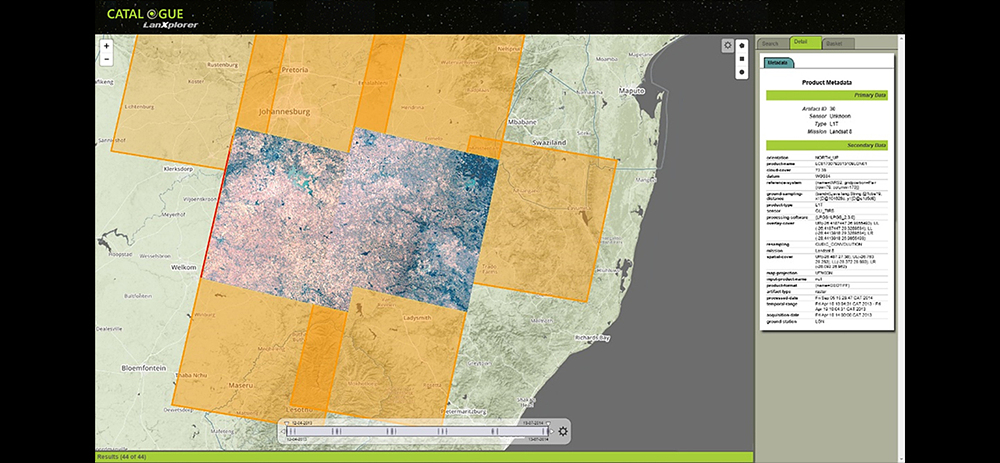
Software components for acquisition QA, image processing, archiving and cataloging are packed together into an easy to use software suite. Multiple satellite reception is also possible, such as MODIS (Aqua&Terra) and NPP satellites.
This system can be configured for other high-resolution satellites and future X band satellite missions.
Landsat Core Processor Landsat processor is a commercially supported Level 1 product generation system for Landsat satellite imagery. The output products of this system have been radiometrically and geometrically validated by the USGS. The following sensors are supported. 


